Hurricane Laura
August 31, 2020
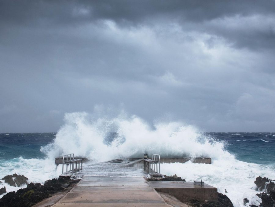
In the early hours of Thursday morning, Hurricane Laura made landfall as a category 4, with winds up to 150 mph, near Cameron, Louisiana which is approximately 35 miles East of the Texas coast. Around 1 a.m. Tuesday morning, it was recorded as a category 1, and jumped to a category 4 by Wednesday night. It struck near high tide and was predicted to over-welm the coastal areas of Louisiana and the border of Texas in up to 15-20 feet of water. It was recorded as the largest storm surge since 1851. It caused Lake Charles, LA to go into immediate evacuation due to speculations that the city would flood. Lake Charles is home to approximately 78,000 residences. According to the NHC when it made landfall the storm caused a path of destructive winds in partnership with widespread power outages and catastrophic damages. As it made its way along Luisiana’s western border into Arkansas, the wind speed slowed significantly. Meteorologists reported the storm was supposed to be unsurvivable. Hurricane-force winds were expected to continue for several hours in areas of southeastern Texas and southwestern Louisiana. “At the time of landfall, Laura was a ferocious looking hurricane with a clear circular eye, an intense eyewall, and tightly-coiled surrounding spiral bands,” the National Weather Service said in an update on the storm early Thursday. The flooding will be there for several days before the displayed water finally recedes.
Source: https://www.washingtonpost.com/weather/2020/08/26/hurricane-laura-updates-texas-louisiana/